New problems need Creative and unusual Solutions
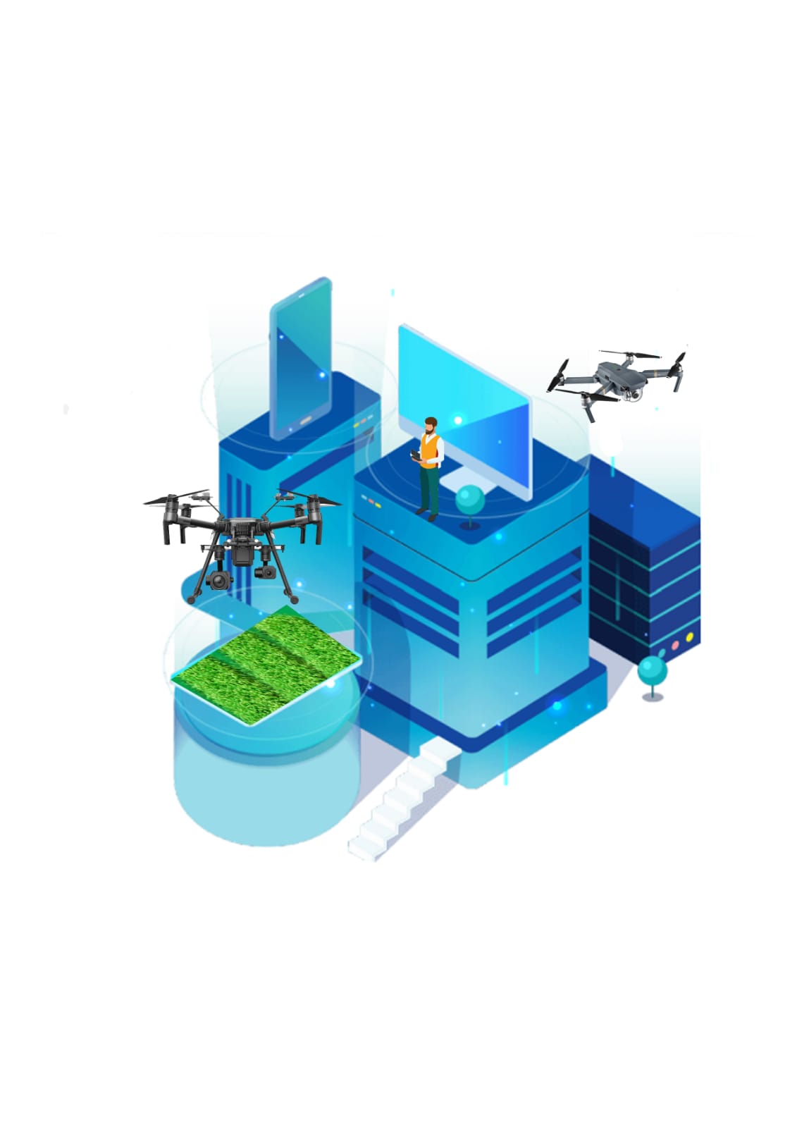
Agricultural Drones

Agricultural Drones: How Drones Are Revolutionizing Agriculture and How to Break into this Booming Market

Drone technology is a phenomenal innovation that continues to have far-reaching effects across today’s society, transforming our lives and the way we do business.
The agricultural industry seems to have embraced drone technology with open arms, using these advanced tools to transform modern farming.
High-tech drones allow farmers, and the drone pilots that operate them, to increase efficiency in certain aspects of the farming process. From crop monitoring to planting, livestock management, crop spraying, irrigation mapping, and more.
Below we dive deep into the agricultural drone market and its many applications, along with a look at the future of this exciting industry and what you can do to get started as an agricultural drone pilot.

Scouting land and crops

Crop scouting is the process of precisely assessing pest pressure (typically insects) and crop performance to evaluate economic risk from pest infestations and disease, as well as to determine the potential effectiveness of pest and disease control interventions.

Checking for weeds and spot treating plants

Integrated Weed Management coupled with the use of Unmanned Aerial Vehicles (drones), allows for Site-Specific Weed Management, which is a highly efficient methodology as well as beneficial to the environment.

The identification of weed patches in a cultivated field can be achieved by combining image acquisition by drones and further processing by machine learning techniques.

Monitoring overall crop health

Drones using ‘regular’ cameras are also used to monitor crop health.

Satellite imaging may offer to the meter accuracy, but drone imaging is capable of producing accurate image location to the millimetre.

This means that after planting, areas with stand gaps can be spotted and replanted as needed, and disease or pest problems can be detected and treated for right away.

Managing livestock and monitoring for health issues

Drones fitted with cameras and thermal imaging capabilities can monitor livestock movement and health, perform counts and check in on land working crews.

Use of unmanned aerial vehicles (UAVs) saves time and increases property awareness.

INNOVATIVE METHODS

Drone technology can help to accomplish once time-consuming and difficult tasks, all while reducing costs across the board.

You can expect the current uses of drones in agriculture to continue to evolve as the industry matures and new technology is introduced.

Soil and Field Analysis

At the beginning, middle, and end of a crop cycle drones can be used to help obtain useful data surrounding the quality of the existing soil. By obtaining 3D maps of existing soil, you’ll be able to see if there are any issues surrounding soil quality, nutrient management, or soil dead zones.

Seed Planting

Drone planting is a relatively newer technology and not as widely used, but some companies are experimenting with drone planting.
DroneSeed is using unmanned aircraft capable of delivering up to 57 pounds of payload in the form of tree seeds, herbicides, fertilizer and water per aircraft per flight to assist reforestation and replanting projects.
This technology helps to minimize the need for on-the-ground planting, which can be costly, time-intensive, and strenuous work.

Crop Spraying and Spot Spraying

Crops require consistent fertilization and spraying in order to maintain high yields. Using drones for crop spraying is much safer and cost-effective. Drones can even be operated completely autonomously and programmed to run on specific schedules and routes.
Spot spraying of crops used to be incredibly difficult. If you had an issue with weeds or a certain crop, the entire acreage would have to be sprayed.With spot spraying afforded by drones, this same task can be accomplished in less time, with fewer monetary resources, and a reduced environmental cost.

Crop Mapping and Surveying

One of the biggest advantages of using drone technology is the ease and effectiveness of large-scale crop and acreage monitoring. In the past, satellite or plane imagery was used to help get a large scale view of the farm, while helping to spot potential issues.
With drone mapping and surveying, technology decisions can now be made based on real-time data, not outdated imagery, or best-practice guesswork.
With near infrared (NIR) drone sensors you can actually determine plant health based upon light absorption, giving you a birds-eye view of the overall farm health.
The end result is simple, drones can help to maximize land and resource usage, and help farmers better determine crop planting locations.

Irrigation Monitoring and Management

Irrigation can be troublesome. With miles and miles of irrigation, issues are bound to arise. Drones that are equipped with thermal cameras can help to spot irrigation issues, or areas that are receiving too little or excessive moisture.
With this information, crops can be better laid out to maximize drainage, adhere to natural land runoff, and avoid water pooling, which can damage sensitive crops.
Water and irrigation issues are not only costly but can ruin crop yields as well. With drone surveying, these issues can be spotted before they become troublesome.

Real-Time Livestock Monitoring

Some drones are equipped with thermal imaging cameras that enable a single pilot to manage and monitor livestock. This allows farmers to keep track of livestock a much greater frequency, and with less time and staff investment.
The drone operator can quickly check in on herd to see if there are any injured or missing livestock, well as see livestock who are giving birth. Drones are used to keep an eye on the heard at all times, a once costly and time-intensive task.
Plus, thermal imaging will also help to keep an eye out for any livestock predators, which can be a huge advantage for some farm owners.